


20160324-Les Andelys

doudet
Gebruiker
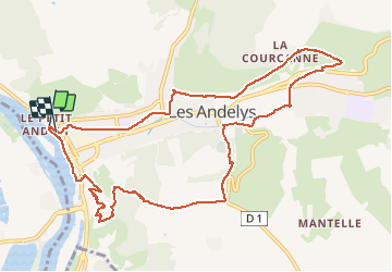

Lengte
11,2 km

Max. hoogte
162 m

Positief hoogteverschil
302 m
Km-Effort
15,2 km

Min. hoogte
10 m

Negatief hoogteverschil
301 m
Boucle
Ja
Datum van aanmaak :
2018-09-11 09:11:49.159
Laatste wijziging :
2018-09-11 09:11:49.159
3h18
Moeilijkheid : Moeilijk

Gratisgps-wandelapplicatie
 SityTrail
IGN / Geografische instituten
SityTrail Plus
De wereld gaat voor u open
Over ons
Tocht Stappen van 11,2 km beschikbaar op Normandië, Eure, Les Andelys. Deze tocht wordt voorgesteld door doudet.
Beschrijving
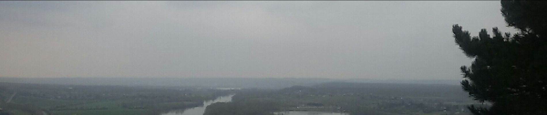
Boucle A-R au départ du Petit-Andelys
Foto's


Plaatsbepaling
Land:
France
Regio :
Normandië
Departement/Provincie :
Eure
Gemeente :
Les Andelys
Locatie:
Unknown
Vertrek:(Dec)
Vertrek:(UTM)
383248 ; 5455972 (31U) N.
Opmerkingen